Parking, charging infrastructure and logistics
The Netherlands faces major challenges in the areas of mobility and space. Data on traffic, vehicles, and infrastructure is fragmented and spread across various sources.
NDW brings clarity to this.
We centralise data from source holders and make it accessible to everyone working on logistics, loading, and parking. This creates a single reliable starting point for policy, implementation, and smart mobility solutions.
Public and private collaboration
Bringing data together for maximum impact
NDW collects data from municipalities, provinces, market parties, and service providers.
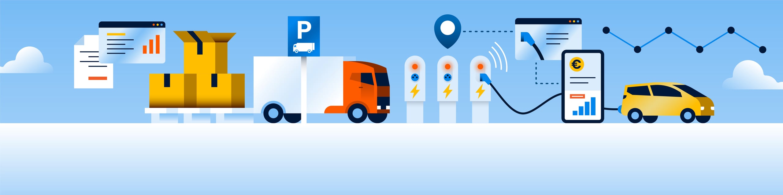
This data includes information about:
- Driving restrictions and truck routes
- Availability of loading and unloading zones
- Charging points and their characteristics
- Parking locations and amenities
- Occupancy rate and availability
By bringing all this information together in one place, an overview is created. This allows governments to make better policies, logistics companies to work more efficiently, and service providers to develop smarter applications.
Value for Partners
Governments gain insight into where additional charging or parking facilities are needed. They can more easily meet their data obligations, for example, for environmental zones or urban logistics. Service providers can reuse the data in route planners or dashboards without having to build their own infrastructure.
Value for residents
Up-to-date, well-accessible data prevents search traffic, reduces emissions, and makes traffic safer. This is how we contribute to an accessible, livable city and smoother logistics.
Applications
Concrete projects and tools for better loading, parking, and logistics
NDW makes data usable through projects and platforms:
DOT-NL (Public Charging Point Data Platform)
Real-time information on the location, availability, price, and plug type of charging points. Open and freely available.
LINDA (Charging Infrastructure Data)
Insight into the use of charging stations. This allows municipalities to determine where expansion is needed.
George
A mutation application where geographical data and characteristics can be viewed and modified.