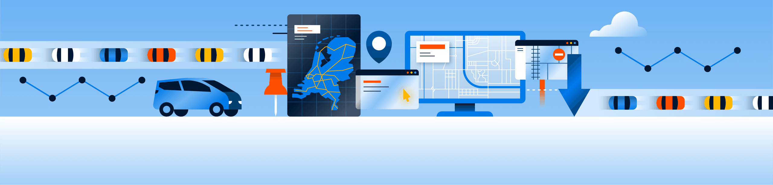
Maps and locations
Good traffic data starts with an accurate location. Whether it's traffic signs, speeds, or road features – without clear maps and locations, it doesn't work. NDW ensures that this location data is accurate, up-to-date, and easy for you to exchange. This is how we help road authorities, emergency services, and applications use and understand data effectively.
Public and private collaboration
NDW manages and develops maps and location data in collaboration with partners such as Rijkswaterstaat, provinces, and municipalities.
We maintain systems like VILD and developed the management application KARIN. Through the open data platform George, we share data about traffic signs and road characteristics.
The basis is the National Road Database (NWB), the digital map of the Netherlands. With our APIs, we enable the exchange of data between systems, such as translating traffic data for apps like SPIN.
Value for Partners
Maps & Locations is an important building block for many NDW services. This allows partners to work independently of suppliers using standardised data. They benefit from reliable links between different data sources and can integrate location services smartly and easily.
With tools like CBM (Configuration Management Manager), partners digitally map their measurement paths. This way, they know exactly which routes they are receiving traffic data for. The map layers in CBM ensure that changes to the road network are immediately visible.
Value for residents
Reliable location data ensures a safer and better-functioning road network. Emergency services can respond faster, and navigation becomes more precise. Up-to-date maps are also indispensable for a future with driver assistance systems and self-driving vehicles.
Applications
The Dutch roads are bustling with activity. To understand and control this movement effectively, NDW is developing smart applications.
George
A mutation application where geographical data and characteristics can be viewed and modified.