Bereikbaarheidskaart
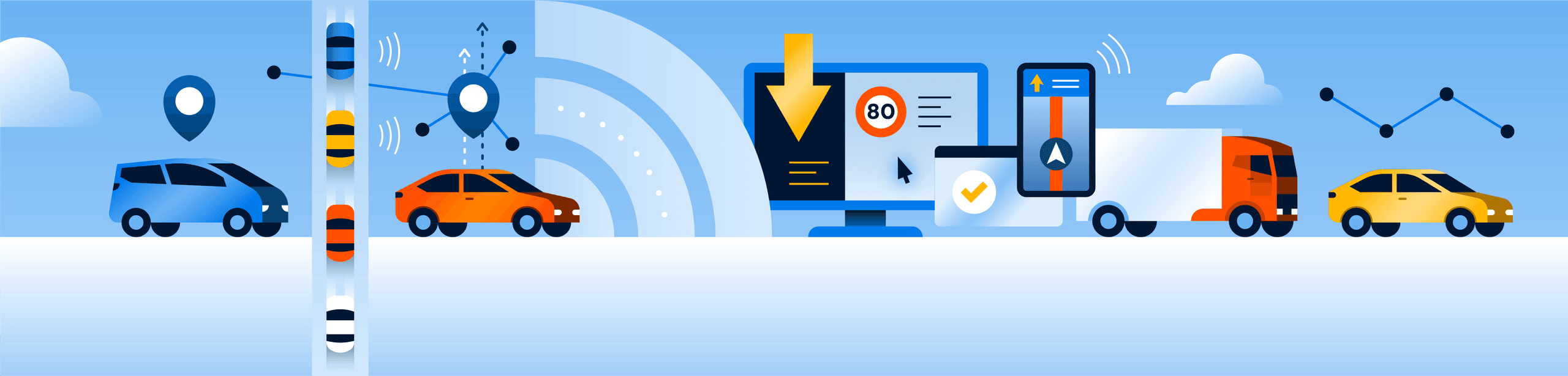
The Accessibility map (Bereikbaarheidskaart ) shows you where you are or are not allowed to drive with your vehicle in the Netherlands. The map provides insight into access restrictions based on traffic signs, such as length or weight restrictions, environmental zones, or one-way streets.
What do you see on the map?
- Roads with access restrictions based on traffic signs
- Information per vehicle, linked to the RDW's vehicle registration database.
- Current data on, among other things, direction of travel, height, width, weight, and environmental requirements.
- A complete picture of the legal accessibility of the road network
Do you want to use the data in your own system?
Then make use of the free API. This makes it possible to link information from the map to, for example, route planners, logistics planning software, or permit systems.
View the Swagger-API documentatie
Use it directly?
Everyone can view the map for free at: bereikbaarheid.ndw.nu/map
Enter your license plate and see immediately where you are allowed to drive. Because the card is linked to RDW data, your vehicle is automatically checked against applicable restrictions.
Frequently asked questions
The map combines data from the National Road Database with traffic signs as registered in George. Vehicle data comes from the RDW vehicle registration database.
NDW developed the map on behalf of the Ministry of Infrastructure and Water Management, in collaboration with the municipalities of Amsterdam and Utrecht and the provinces of Utrecht and North-Holland. The development was made possible in part by the Digital Government Innovation Budget.
Yes, new features are constantly being added. These include time-based restrictions (such as during rush hour) and target group restrictions (e.g. access only for taxis or local traffic).
Certainly, the map is freely available to all authorities and users in the Netherlands, even if you were not involved in its development.